
Western Ghats Adventure
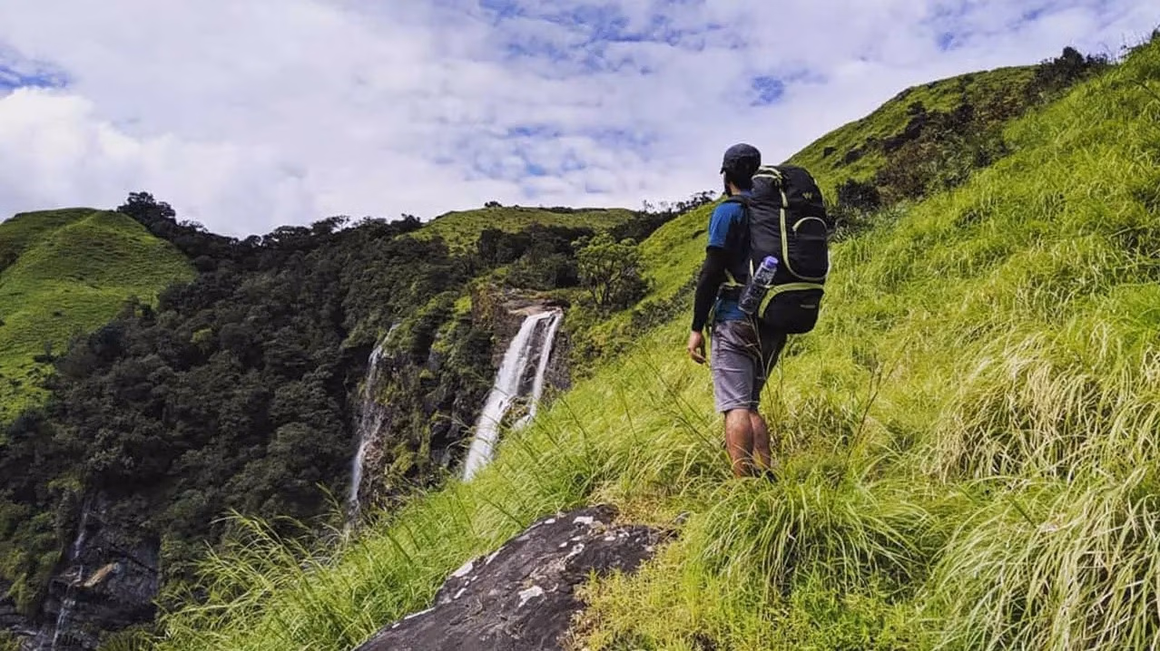
⛰️ Bandaje Trek
Explore the majestic Bandaje Falls and Ballalarayana Durga Fort in Chikmagalur with our comprehensive guide
~1,250 m
Fort Elevation
12–18 km
Distance
6–8 hrs
Duration
Moderate
Difficulty
₹500–600
Permit Fee
Jul–Feb
Best Season
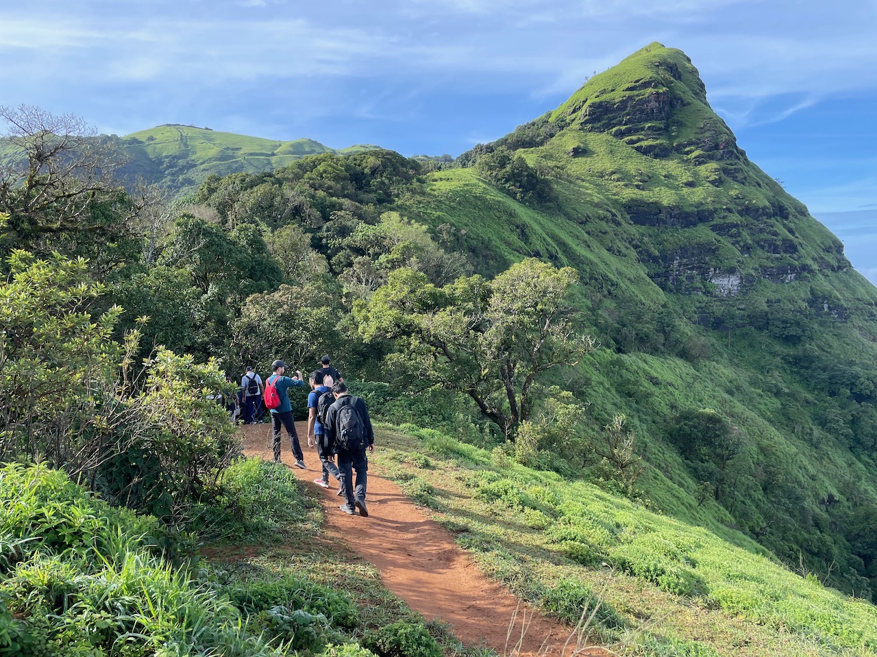
Trek Overview
Your adventure starts here
- Starting Point: Durgadahalli village or Rani Jhari Viewpoint, ~70 km from Chikmagalur
- Elevation: ~1,250 m (fort), ~900 m (falls)
- Trek Distance: ~12–18 km round trip
- Duration: 6–7 hours to waterfall
- Difficulty: Moderate to challenging
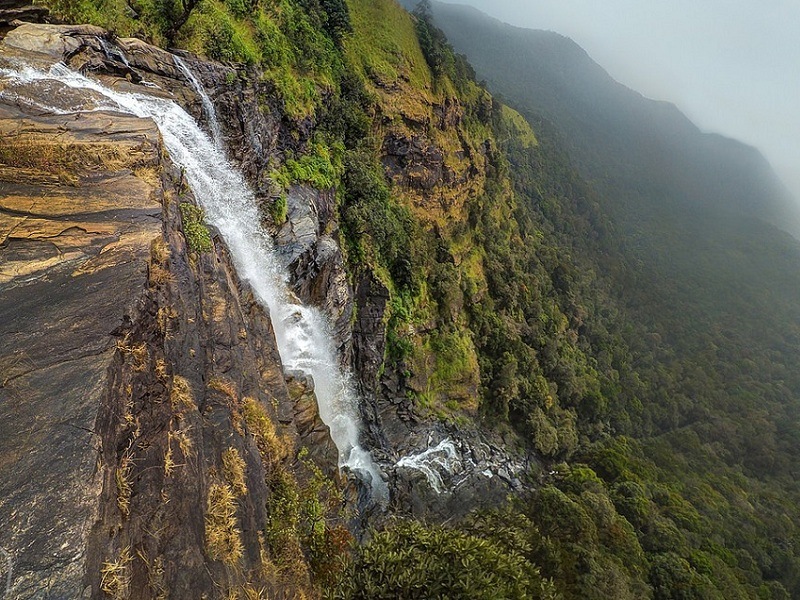
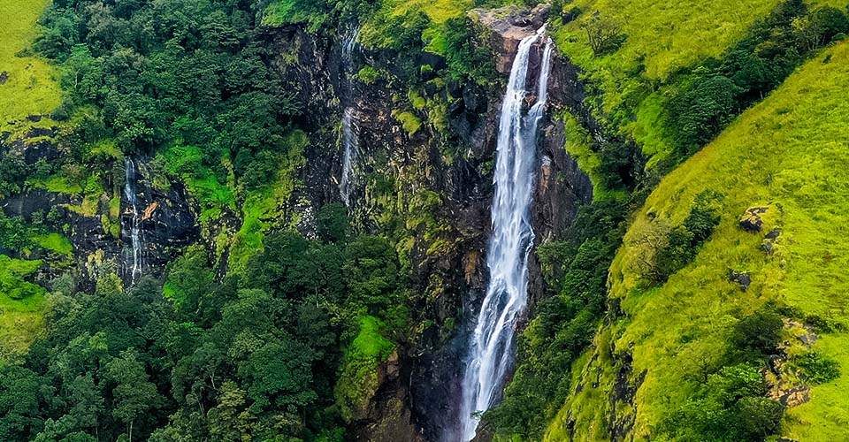
Highlights & Wildlife
Nature's finest moments
- Ballalarayana Durga Fort: Ancient 17th-century fort
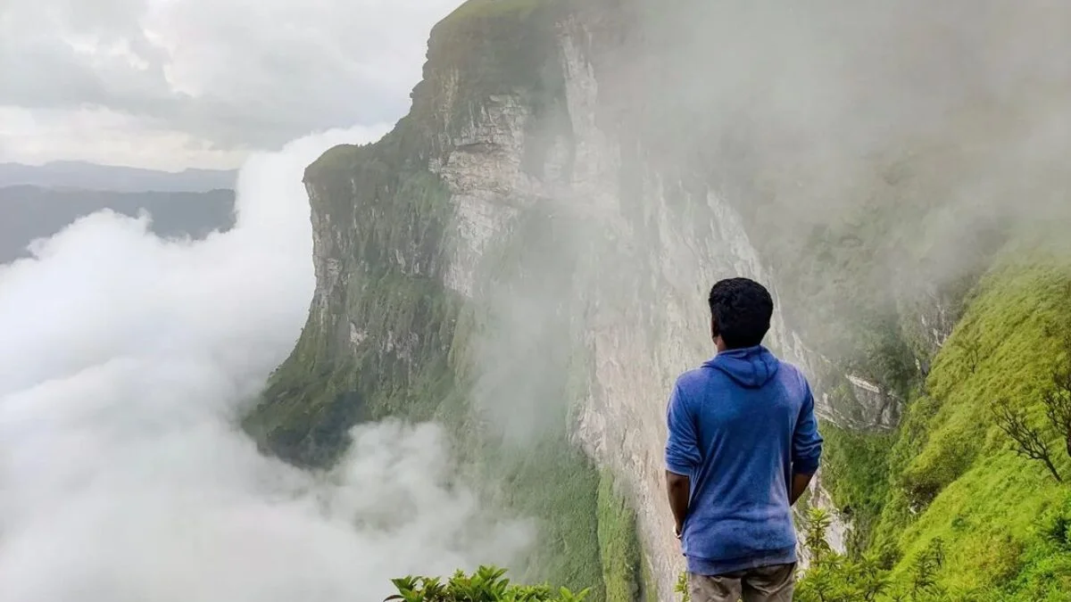
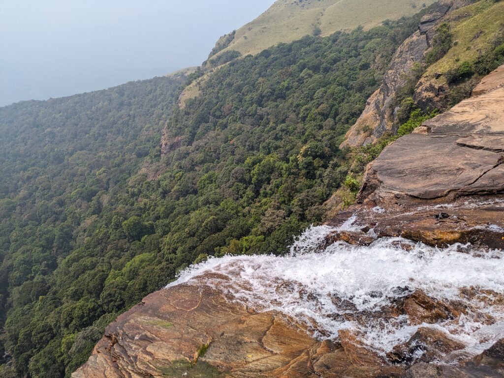
- Bandaje Falls: Over 200ft vertical drop
- Shola grasslands and panoramic Western Ghats views
- Wildlife: Rich flora and fauna
Permits & Rules
Essential information
- Forest Entry Permit: Contact us for current rates
- Guide Mandatory: Included in package
- Trek Timings: Entry from 6 AM; finish by 6 PM
- 🚫 No plastics, alcohol, or campfires allowed
How to Reach
Getting to the trailhead
- By Road: Bangalore → Chikmagalur → Durgadahalli (~280–290 km)
- Transportation: Available - Contact for details
- Accommodation: Homestays available - Contact for pricing
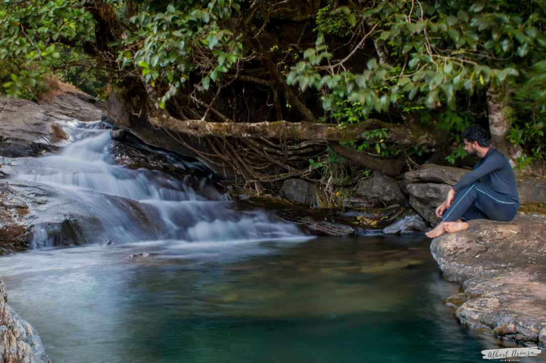
Photo Gallery
Capture the journey

Why Choose Henjodi Stores?
We simplify your trek
- ✅ Local expertise with years of trekking support experience
- ✅ One-stop for permits, food, jeep rides, and guides
- ✅ Flexible packages - Contact us for current pricing
- ✅ Genuine Malenadu coffee, tea, and local snacks
- ✅ Friendly, local support team available via WhatsApp
Trekker Insights
What others say
"Took 7 hours to reach the falls, stunning views at the fort. The guide was super helpful!"
Experienced Trekker
4/5 Stars
"Challenging but rewarding! The waterfall and fort views were unforgettable."
Beginner Trekker
5/5 Stars